Rookery Bay National Estuarine Research Reserve
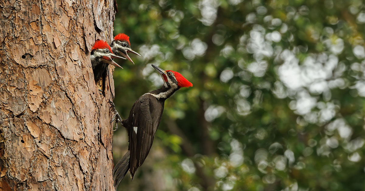
Located at the northern end of the Ten Thousand Islands on the gulf coast of Florida, the Rookery Bay National Estuarine Research Reserve protects 110,000 acres of pristine mangrove forest, uplands and backwater bays. Start by visiting the Environmental Learning Center off Tower Road at the main entrance to view the interpretive exhibits. Pick up a bird list, and check the upland hammocks around the parking area for warblers, woodpeckers and hawks. From the second floor of the Center, the Observation Bridge crosses Henderson Creek to the Snail Trail’s pine flatwoods and other upland habitats where Pileated Woodpeckers are frequently seen or heard. The creekside viewing platform provides a water-level view of wading birds foraging along the creek. Shell Island Road, just a few miles from the Center, offers an opportunity to drive or bike through pine flatwoods and coastal scrub where you may find Eastern Towhees and Pileated Woodpeckers. At the end of the road you enter a mangrove forest, where the Shell Point Canoe Trail begins (bring your own). Much of the reserve itself is accessible only by boat. The estuary offers a host of wading birds such as Reddish Egrets and Roseate Spoonbills, as well as the possibility of spotting Peregrine Falcons, Bald Eagles and Mangrove Cuckoos.
Site Information
Admission Fee Required for Entry
Managed By: FL Dept. of Environmental Protection, Office of Resilience and Coastal Protection
Operational Hours: Monday through Saturday, 9 a.m. - 4 p.m.; closed Sunday.
Size: 88,554 acres
Rookery Bay National Estuarine Research Reserve
Hours: 9:00 AM to 4:00 PM, Mon - Sat
Entrance
Rookery Bay National Estuarine Research Reserve
Address: 300 Tower Rd., Naples, FL 34113
View on Google Maps »